


And an active volcano looming on the horizon shrouded in cloud cover; it has been rare to see the sky, sun, or the tops of mountains here.

Ate a delicious brunch of breakfast burritos and set off with a North-East bearing, we set off on road 26 for the junction of road F225, leading to Landmannalaugar.

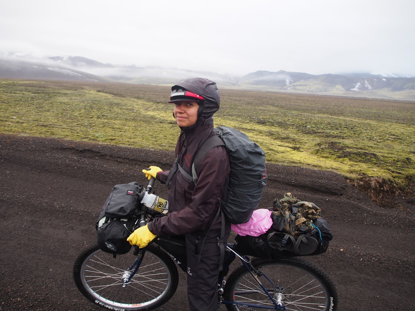
Road 26, was extremely rough and created from volcanic debret.


A road or standard touring bike would have much trouble on this surface.
Torrential rain and speeding semi trucks were memorable elements of this segment of road.

2 hours from the farm, f225 turn off; a welcome sight.

Break for food and to review our route.


After about an hour on f225, we rose gained enough altitude to enter the low hanging cloud layer, transforming our surroundings into a virtual moonscape, very erie.


Few hours later, top of the first big climb, time for another meal.

Keeping the MSR water bladder on the tail bag proved handy on several occasions.

Finally some color! The variation in landscape was dramatic as we continued to progress on this road, changing every two hours; emerald green ground cover.


First water crossing, murky glacial silt made it imposible to see the bottom, could be 6 inches or 4 feet. The only way to gauge the depth accurately was by watching a big lifted land cruiser drive through.

Fortunately it was relatively shallow. We used Wiggy's light weight waders for this crossing, although our feet were already completely soaked from the day's ride.


One way the rain proved advantageous is by helping to compact the glacial sand for a consistent riding surface; was able fast enough to scare the sheep.


SUMMIT!

Over three more passes and two valleys we reached our goal around 1:00 am.


No comments:
Post a Comment